
9 Documentaries on Mysterious Ancient Maps
Exploring Hidden Histories
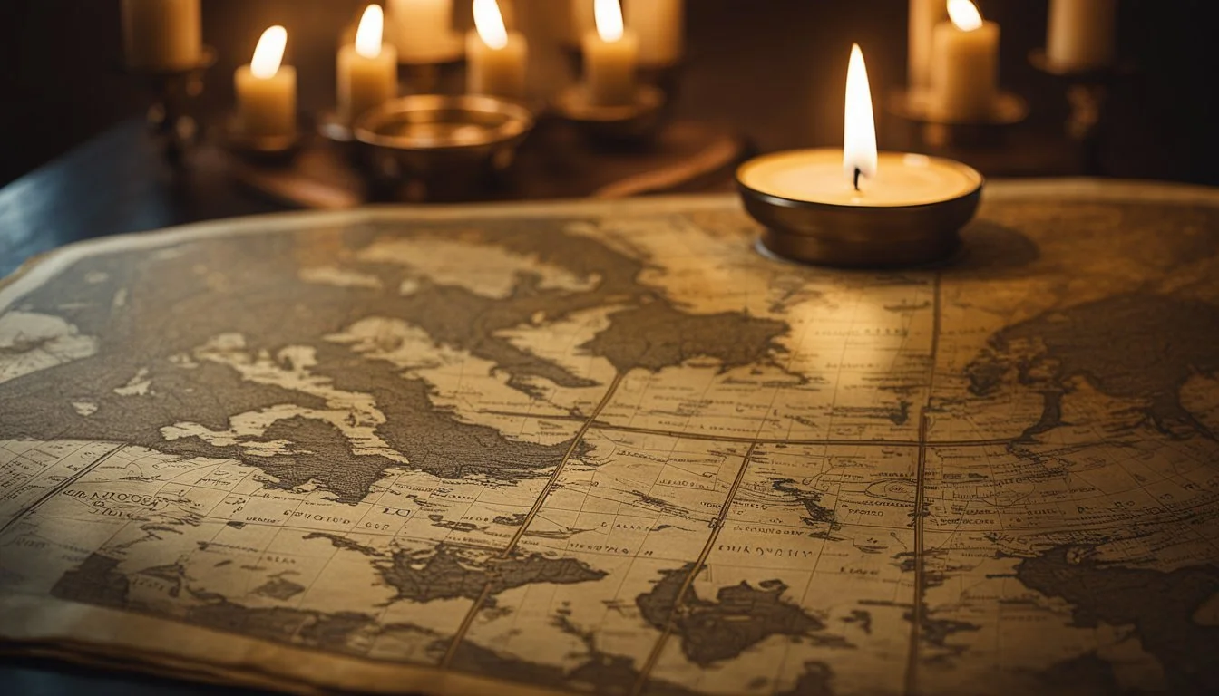
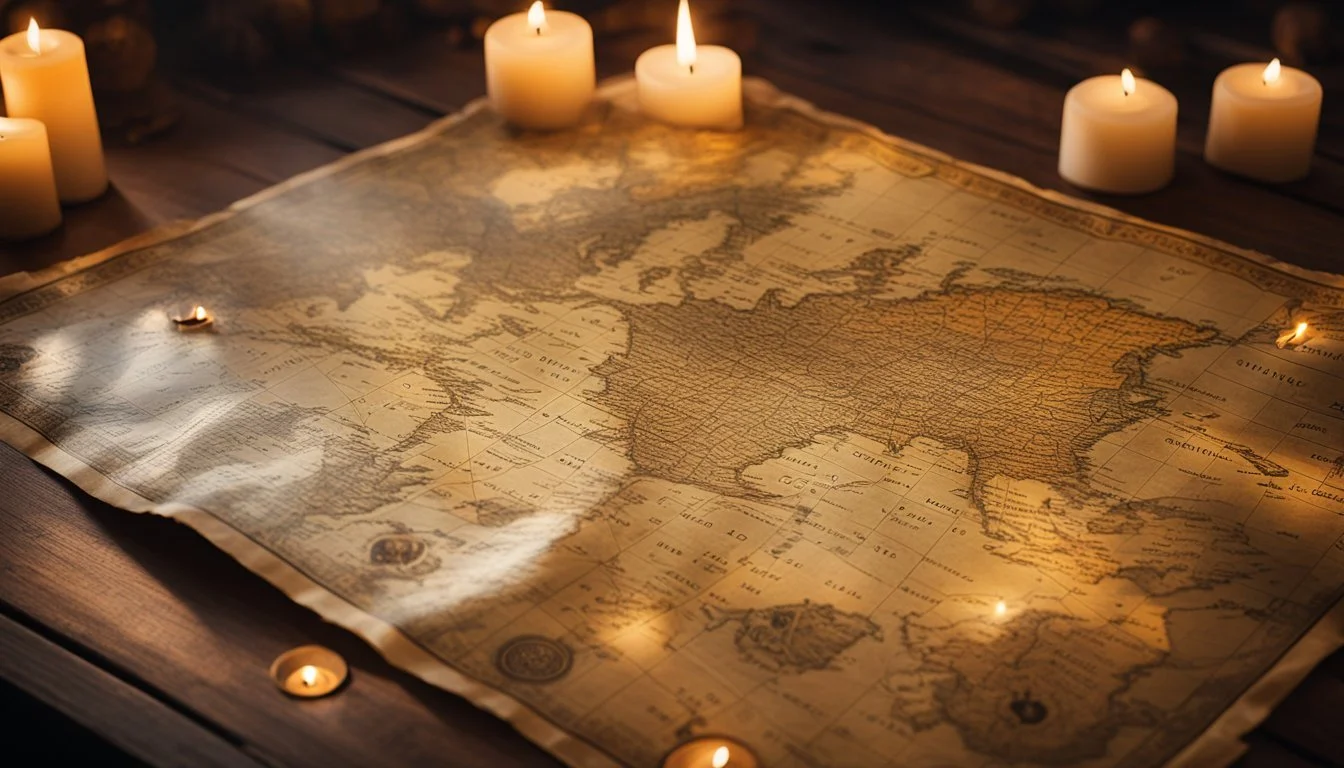
Ancient maps have always intrigued historians and enthusiasts alike, offering glimpses into how ancient civilizations perceived and navigated their world. These cartographic artifacts often veil as many questions as they answer, providing a tantalizing mix of fact and mystery.
For those eager to explore the enigmas surrounding these ancient maps, documentaries provide an engaging and informative avenue. These films delve into lost civilizations, unexplored territories, and the ingenuity of ancient cartographers. Each documentary sheds light on the mysteries and significance of these historical treasures, captivating viewers with stories of discovery and intrigue.
1) The Piri Reis Map
The Piri Reis Map, drawn in 1513 by the Ottoman Turkish admiral and cartographer Piri Reis, has captured the interest of scholars and enthusiasts alike. It is notable for its depiction of the western coasts of Europe, North Africa, and parts of the Americas.
Made on gazelle skin, the map is celebrated for its impressive detail and accuracy for its time. Piri Reis claimed to have used a collection of 20 source maps and charts, including ancient Greek, Arabic, Portuguese, and even maps from Christopher Columbus.
One intriguing aspect of the Piri Reis Map is its purported depiction of Antarctica’s northern coastline, without ice. This detail has fueled speculation and various theories regarding ancient knowledge of the continent long before its official discovery in the early 19th century.
For more information, see Wikipedia.
2) The Vinland Map
The Vinland Map has intrigued historians and scientists for decades. This map, purportedly dating back to the 15th century, claims to show parts of North America that the Vikings explored long before Columbus's voyages.
Originally appearing on the scene in 1957, its authenticity has been heavily debated. Yale University holds this artifact, insured for $25 million despite the controversy surrounding it.
A key aspect of the debate involves the Tartar Relation, a document bound with the map. The Tartar Relation, written by C. de Bridia in 1247, describes the Mongol Empire, adding another layer of mystery to the already enigmatic Vinland Map.
Scientific analyses have raised doubts about the map's authenticity. For example, faded ink and patched wormholes on the map are typical signs of aging, but they alone cannot confirm its historical accuracy. Advanced tools like scanning x-ray fluorescence spectrometry have been employed to investigate the materials used to create the map, casting further doubts on its genuineness.
For those fascinated by the historical and scientific controversies, NOVA's documentary, The Viking Deception (2005), provides an in-depth exploration. The program delves into the efforts of experts attempting to unravel the truth behind the Vinland Map.
The Viking Deception (2005) - IMDb
3) The Zeno Map
The Zeno Map is tied to an intriguing story from the 14th century involving two Venetian brothers, Nicolò and Antonio Zeno. They purportedly embarked on a remarkable journey to the far north, possibly reaching the shores of Canada. Their travels are noted for following Viking trade routes.
This map, published posthumously by a descendant in 1558, includes several mysterious islands, one of which is the fictional Frisland. Despite Frisland's non-existence, the map influenced numerous cartographers for centuries, who believed in its authenticity.
The Zeno Map also mentions a mysterious benefactor named Prince Zichmni, whose identity remains unknown. This added a layer of mystique, further perpetuating the legend of the map. Over time, scholars have debated the map's veracity and the brothers' journey.
Historians view the Zeno Map as an example of how medieval cartography often blended myth with reality. It serves as a fascinating case study of exploration, the spread of information, and the persistence of myth in geographic knowledge.
For a visual exploration and more detailed accounts, you can watch the documentary The Phantom Atlas (2019).
4) The Cantino Planisphere
The Cantino Planisphere is an early 16th-century Portuguese world map, dated 1502. It offers a glimpse into the geographical knowledge of the Portuguese explorers during the Age of Discovery.
Named after Alberto Cantino, an agent for the Duke of Ferrara, the map was smuggled from Portugal to Italy, making its way to the Biblioteca Estense in Modena, Italy. Measuring 220 by 105 cm, it stands as a significant artifact in cartographic history.
The map is distinguished by its focus on bodies of water and coastlines, with detailed depictions of Europe and Africa. The Americas and Asia are more fragmentary, mirroring the incomplete exploration of those continents at the time.
Notably absent are Australia and the Pacific Islands, highlighting the limits of contemporary exploration. The Cantino Planisphere also records notable voyages such as Vasco da Gama’s journey to India, emphasizing the quest for new maritime routes.
For those interested in further details on this historic map, a recommended documentary is The Cantino Planisphere: Gateway to the New World (2022).
5) The Waldseemüller Map
The Waldseemüller map, created by German cartographer Martin Waldseemüller in 1507, is renowned for being the first map to use the name "America." This map marked a pivotal moment in cartography, depicting the New World with unprecedented detail.
The map's importance lies in its innovative representation of the world. It was among the first to illustrate the Americas as separate from Asia, breaking away from prior conceptions. The map's use of latitude and longitude also showcased advanced geographical knowledge for its time.
Waldseemüller's decision to name the new continent "America" was influenced by the works of explorer Amerigo Vespucci. This choice subsequently gained widespread acceptance, establishing the name in common usage.
The Waldseemüller map remains a subject of intrigue and study, both for its historical significance and its artistic detail. It is preserved in the Library of Congress, where researchers and the public can view this remarkable artifact.
For more information on the Waldseemüller map, visit Wikipedia.
6) The Fra Mauro Map
The Fra Mauro Map, completed around 1450 by Italian cartographer Fra Mauro, stands as a significant achievement in medieval cartography. This circular planisphere is drawn on parchment and housed in a wooden frame, measuring more than two meters across.
The map features detailed representations of Asia, Africa, and Europe. Unlike many maps from the era, it is oriented with the South at the top.
One notable aspect of the Fra Mauro Map is its depiction of the Indian Ocean as a closed basin. This was contrary to the prevailing belief at the time that it connected to the other oceans.
Fra Mauro took a meticulous approach, incorporating knowledge from travelers and explorers to enhance the accuracy of the map. His work includes intricate illustrations of cities, rivers, and other geographical features.
The map is also visually stunning, adorned with minute drawings, golden hues, and blue elements. These artistic touches highlight not only its functional use but also its aesthetic value.
For more information on the Fra Mauro Map, visit Wikipedia.
7) The Tabula Rogeriana

The Tabula Rogeriana, created by Muhammad al-Idrisi in 1154, is a significant medieval map. Commissioned by the Norman King Roger II of Sicily, this map showcases intricate cartographic detail.
Al-Idrisi's work provides extensive geographical knowledge of the known world at the time. The map spans from the Atlantic in the west to the Chinese eastern lands.
One remarkable feature of the Tabula Rogeriana is its south-up orientation, reflecting the cartographical conventions of the era. This map incorporates data from various sources, including travelers, traders, and earlier geographers.
The Tabula Rogeriana is known not only for its accuracy but also for its artistic value. Al-Idrisi's map includes rich descriptions of numerous regions, enhancing its historical significance.
The map's influence extended well beyond the medieval period, impacting both Islamic and European cartography. Al-Idrisi's work remains a testament to the intercultural exchanges of the twelfth century.
For more in-depth insights, visit Wikipedia.
8) The Dymaxion Map
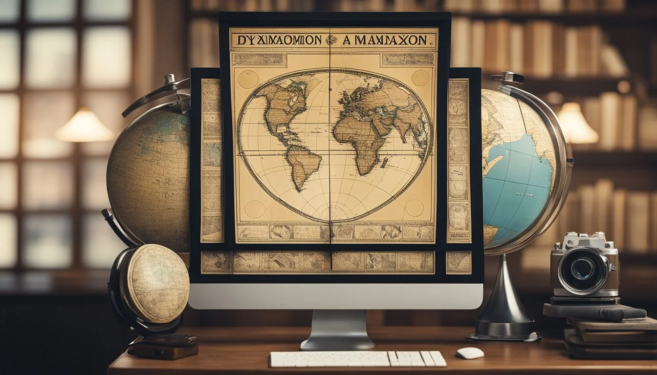
The Dymaxion Map, also known as the Fuller Map, offers a unique perspective on the Earth's geography. Created by Buckminster Fuller, this map projection depicts Earth's surface onto the shape of an icosahedron, which can be unfolded into a two-dimensional plane.
What sets the Dymaxion Map apart is its ability to show continents as nearly contiguous landmasses, floating in one continuous ocean. This perspective reduces distortion of shapes and sizes, giving a more accurate representation of relative continents’ sizes compared to traditional maps.
Unlike common maps, the Dymaxion projection minimizes visible wedges between continents, creating a cohesive view of Earth's geography. It effectively reveals the planet as a single "island" in an ocean, promoting a more interconnected view of global geography.
Although the Dymaxion Map may look unconventional at first glance, it provides significant educational value. It challenges viewers to rethink traditional perceptions of global relationships and geography.
The documentary "The World of Buckminster Fuller" (1974) delves into Fuller's innovative ideas, including the creation of the Dymaxion Map. It showcases how his work continues to influence modern cartography and our understanding of Earth.
More information can be found on Wikipedia.
9) The Hereford Mappa Mundi
The Hereford Mappa Mundi is a fascinating medieval map dating from around 1300. It is the largest medieval map still in existence, measuring 1.59 meters by 1.34 meters. The map holds Jerusalem at its center and is known for its intricate depiction of the known world during medieval times.
This map, stored in Hereford Cathedral in England, is filled with over 500 ink drawings. These illustrations depict biblical events, exotic plants and animals, wild creatures, and classical myths. It isn't just a geographical map, but a comprehensive representation of medieval European worldview.
The map follows the T and O design, which was typical of the period, dividing the world into three parts: Asia, Europe, and Africa. Its detailed drawings and rich symbolic elements make it a valuable resource for understanding medieval thought and knowledge.
The documentary series "The Beauty of Maps: Medieval Maps" (2014) provides an in-depth look at the Hereford Mappa Mundi. It explores the historical significance and visual appeal of this astounding artifact.
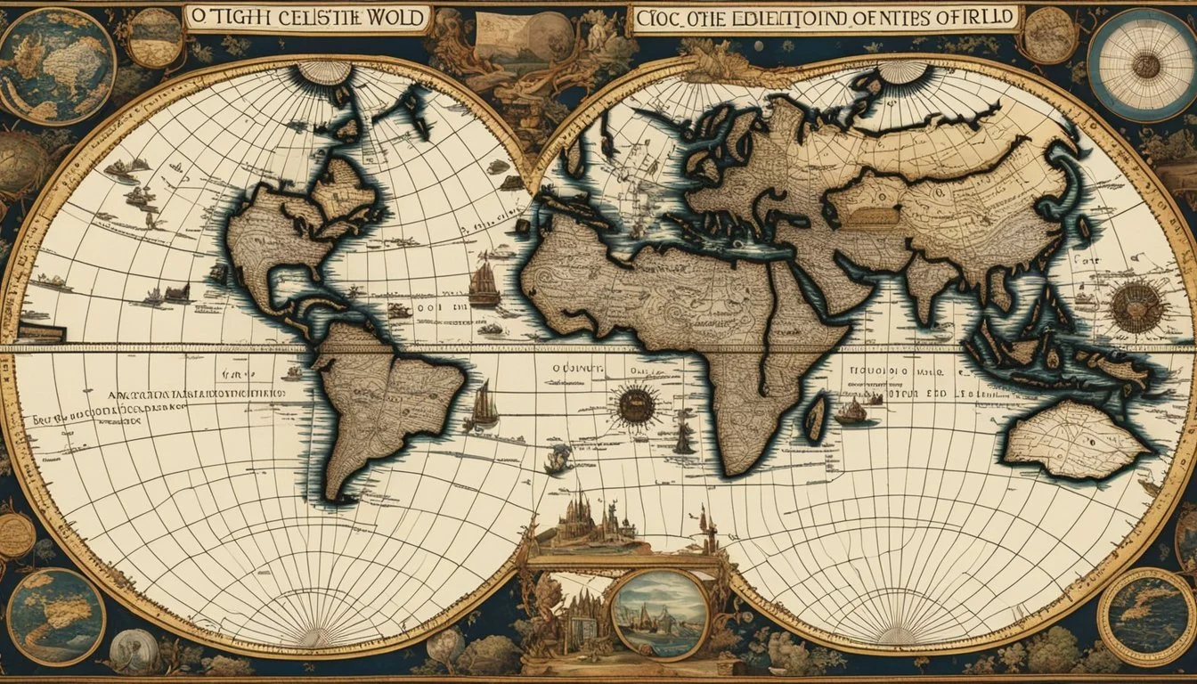
Historical Significance of Mysterious Ancient Maps
Mysterious ancient maps have significantly shaped modern cartography and cultural narratives. Their influence has been essential in guiding exploration and understanding historical perceptions.
Impact on Modern Cartography
Ancient maps like the Turin Papyrus Map and the Piri Reis Map offer insights into early cartographic methods. The Turin Papyrus, showing Egypt's regions, informs our understanding of early topographical efforts. Similarly, the Piri Reis Map, created in 1513, challenges existing ideas about global exploration timelines.
These maps reveal advanced knowledge of geography and navigation, influencing modern mapping techniques. They provided a foundation for contemporary cartographers, contributing to modern geographic information systems (GIS).
Influence on Cultural Narratives
Ancient maps often reflect the myths and beliefs of their times. For instance, maps depicting Atlantis or California as an island show historical misconceptions and mythical influences in cartography. Edward Brooke-Hitching's "The Phantom Atlas" highlights these myths, showing the persistent blending of fantasy and geography.
Such maps shaped cultural narratives by embedding mythical elements into real-world geography. They serve as cultural artifacts, offering a window into the collective imagination and fears of ancient civilizations. This blending of myth and reality continues to intrigue historians and the public alike, perpetuating the legends tied to these mysterious maps.
Scientific Analysis of Ancient Maps
Scientific analysis of ancient maps involves using modern technology to interpret historical data and understand past civilizations. The following sections explore the techniques applied in deciphering these maps and present case studies where significant discoveries were made.
Techniques Used in Deciphering
Experts rely on various techniques to analyze ancient maps:
Radiocarbon Dating: Determines the age of materials such as parchment or papyrus.
Spectroscopy: Identifies the type of inks and pigments used.
Digital Enhancement: Utilizes software to enhance faded or damaged areas.
GIS (Geographic Information Systems): Compares ancient maps with modern geographical data to understand spatial relationships.
These methods help in accurate interpretation and preservation.
Case Studies of Significant Discoveries
Several ancient maps have provided key insights. For instance, the Forma Urbis Romae, a detailed marble map of Rome, offers extensive urban planning information.
The Piri Reis Map, dating back to 1513, contains surprising geographical details that suggest a more advanced understanding of ancient navigation.
The Turin Papyrus Map, from Egypt's 19th dynasty, is one of the earliest known topographical maps, highlighting the sophistication in Egyptian surveying techniques. These cases underscore the invaluable information ancient maps provide about historical landscapes and societies.